 By
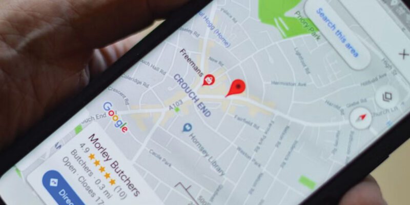
By GPS navigation from a phone has mostly replaced paper maps and standalone sat-navs, and for good reason — it’s free, accurate, and updates in real time. But most people use navigation apps at about 30% of their capability. Here are the ways to use them more effectively.
Download Offline Maps Before You Leave
This is the single most underused navigation feature. If you’re traveling to an area where you might have spotty cellular coverage — rural areas, mountains, international travel — download offline maps in advance.
In Google Maps: tap your profile picture > Offline Maps > Select Your Own Map > draw a box around your area > Download. Do this on Wi-Fi before you travel. You’ll have full navigation capability with no data connection.
For international travel, this is essential. Using your phone navigation on roaming data is expensive. Download the country or region you’re visiting to Wi-Fi the night before departure.
Set Your Home, Work, and Frequent Destinations
Save your home and work addresses in Maps (or your navigation app of choice). Also save places you navigate to regularly — your kids’ school, your gym, your parents’ house. These take two minutes to set up and save you typing time every time you navigate.
More importantly, the app learns your patterns and starts suggesting destinations automatically. “You usually go to [gym] on Mondays — navigate?” is genuinely convenient.
Use the Route Preview Feature
Before starting navigation, preview the route. Most navigation apps let you tap the suggested route to see an overview before starting turn-by-turn. Check: is the route sensible? Does it match your mental model of the journey? Are there unexpected diversions? This 30-second check catches issues before you’re mid-journey and committed.
Multiple Route Comparison
When Maps offers multiple routes, tap each one to see the estimated time and the general path before selecting. The shortest-time route isn’t always the best — a five-minute longer route that avoids a frustrating road might be worth it, or the fastest route might take you somewhere unfamiliar you’d rather avoid.
Check Traffic Conditions Before Leaving
In Google Maps, long-press your destination and select “Directions.” Before starting navigation, the estimated travel time already incorporates current traffic. If the travel time looks unexpectedly long, tap the route and you’ll see where the delays are. This lets you decide whether to leave now, wait for traffic to ease, or take an alternative.
Waze for Urban Driving
For city driving where traffic, speed cameras, and road incidents change rapidly, Waze is often more responsive than Google Maps because it’s community-updated in real time. Users report incidents, police presence, and hazards as they see them. If you drive regularly in a city, worth having both apps and choosing based on which has better real-time data for your area.
Share Your ETA
In Google Maps, during navigation, you can tap the arrow that appears to share your real-time location and estimated arrival time with someone. This is much better than texting “about 20 minutes away” — they see exactly where you are and an accurate estimate that updates with traffic.
In-app sharing avoids the privacy implications of always-on location sharing with someone.
For Walking Navigation: Keeping Your Phone in Your Pocket
Walking navigation while staring at your phone is both hazardous and marks you as a tourist. Use audio guidance only — plug in headphones and follow the spoken directions. Or, use the Live View feature (Google Maps > Start AR navigation) to get a brief visual orientation at intersections and then continue with audio.
Google Maps on Pixel phones also shows navigation on your lock screen without the full app — a simpler UI that works well for walking directions.
Views: 33

You may also like

How to Teach Your Children About Phone Safety Without Them Tuning You Out

How to Use Your Phone to Create Content for Social Media Without It Taking All Day
How to Make Your Phone Work Better in Rural Areas With Poor Signal
More in:Apps

How to Use Your Phone to Find a Therapist or Mental Health Support

How to Keep Kids Safe Online When They’re Using Your Phone

The Best Free Apps That Replace Paid Subscriptions You’re Probably Wasting Money On

TecRounder is a blog that shares New Technology news from around the world (hence the name TecRounder), including the most recent mobile and gadget information: smartphone features, specifications, and more. You can find the latest technology updates here, including the most recent information on smartphones, laptop computers, and other electronic devices.